
Hypocrite Channel
All about Hypocrite Channel –
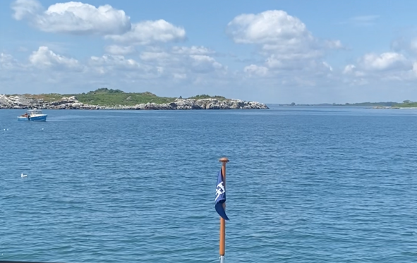
Some places get their names from famous people. Others from the shape of the land. And then there’s Hypocrite Channel, a narrow cut between Green Island and Little Calf Island on the outer edge of Boston Harbor.
It’s not a name that inspires confidence.
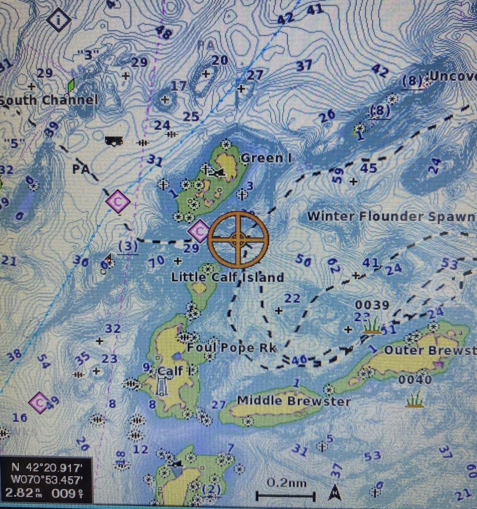
The channel threads between rocky islands, with Green Island to the north—where the chart even marks an old shipwreck—and Little Calf Island to the south. Looking at today’s electronic charts, it doesn’t seem especially intimidating. But appearances can be deceiving.
More than 170 years ago, the American Coast Pilot warned mariners:
“Hypocrite Channel is not safe for strangers.”
Fast forward to the modern U.S. Coast Pilot, and the warning hasn’t exactly softened. The 2024 edition states that the passage “has several unmarked dangers and is not recommended for strangers or for large vessels.”
When government publications keep the same warning for nearly two centuries, it’s worth paying attention.
History suggests plenty of sailors learned that lesson the hard way. A short story published in the 1860s tells of a sloop that grounded in the area, leaving its crew stranded for nearly two weeks before they managed to return to the mainland. Whether every detail is true or embellished by time, the story reflects the reputation the channel had already earned.
With all of that in mind, we decided earlier this season that it was finally time to see Hypocrite Channel for ourselves aboard Kokomo.
We came prepared. Our paper charts were spread out at the helm, backed up by GPS, radar, and our new transducer to show our depth and bottom contour. Even with all the modern electronics we were still a bit nervous attempting to transit an area that had intimidated mariners for generations.
Boaters have a saying: “Slow is pro.” In other words, there are very few situations where slowing down is the wrong decision. As we lined up the entrance, that’s exactly what we did. Idle speed. Eyes outside the boat. One eye on the chartplotter. Another on the depth sounder. Every rock seemed just a little bigger than it had looked on the chart.
With the help of Kokomo’s modern electronic navigation suite, we made our way through the channel from east to west without incident. The transit itself was uneventful—which is exactly what you hope for when threading your way between submerged rocks.
What the trip did leave us with was a newfound appreciation for the mariners who navigated these waters long before GPS, digital charts, and real-time depth displays. They relied on paper charts, compass bearings, local knowledge, and a healthy respect for Boston Harbor’s hidden ledges. It’s easy to understand why the old Coast Pilot cautioned that the passage was “not safe for strangers.” In those days, being a stranger could be an expensive mistake.
I still wonder how the channel got its unusual name. Was it because it looked safe but wasn’t? Did it lure unsuspecting captains into trouble? Or is there another story that’s been lost to history?
Whatever the answer, some warnings survive because they’re still good advice.
The day we transited Hypocrite Channel, we checked another item off the boating bucket list. We also came away with a deeper respect for the generations of sailors who navigated these waters with little more than experience, good judgment, and the courage to trust both.
And while we’ve now made the passage ourselves, I still think the old Coast Pilot offers advice worth following.


